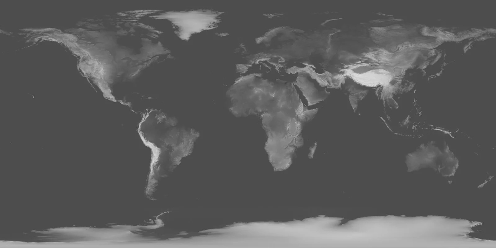
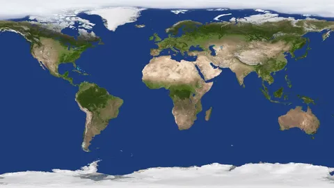
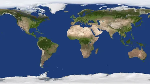
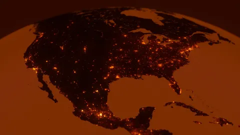
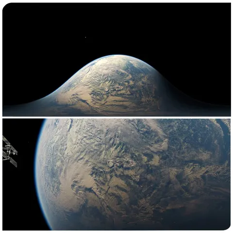
A high-resolution 16-bit displacement map of Earth, derived from NASA's Shuttle Radar Topography Mission data. It provides surface elevation mapping at a massive maximum resolution of 86,400 by 43,200 pixels, allowing for detailed close-ups of geographic features like river valleys and mountain ranges. Due to the projection method, accuracy naturally decreases toward the poles, though the resolution remains high enough for detailed planetary renders.
You might also like
5.0 Textures·€20
5.0 Textures·€20
5.0 Textures·€20

5.0 Textures·€5
5.0 Textures·€12
Textures·Free
HDRI·$25

5.0 Textures·€5
Textures·Free

Textures·Free+
5.0 Textures·€5
HDRI·$3