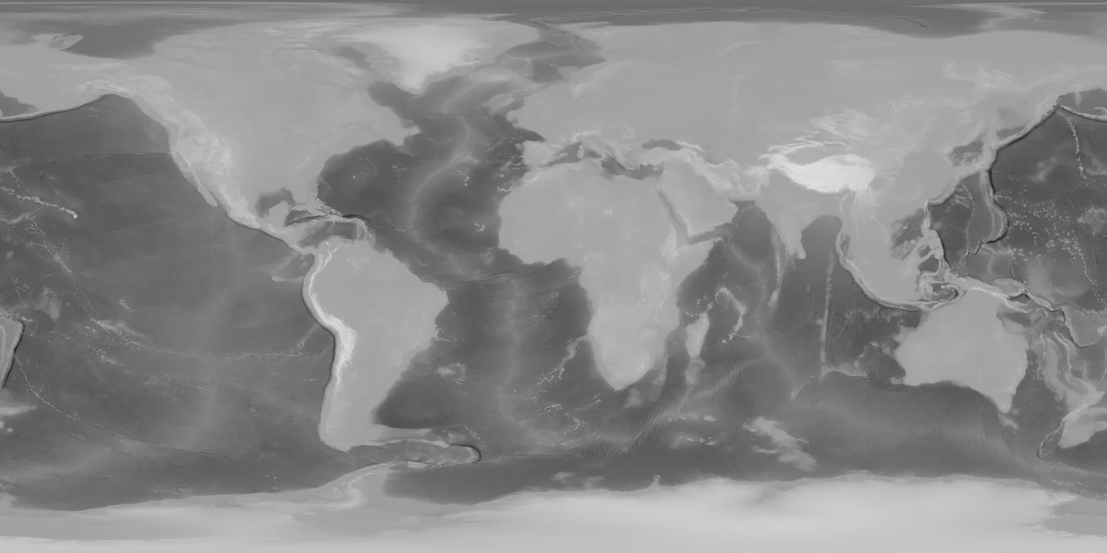
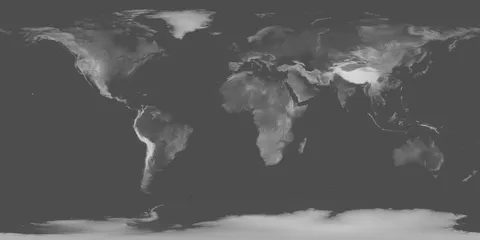
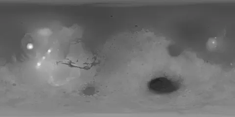
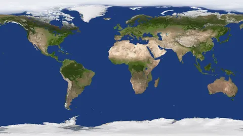
This is a high-resolution 16-bit displacement map capturing Earth's bathymetry. Derived from data gathered by the British Oceanographic Data Centre, the map features a maximum resolution of 43,200 by 21,600 pixels. It details underwater features such as continental shelves and submerged mountain ranges, making it suitable for high-detail planetary renders and close-ups. Accuracy decreases near the poles due to the nature of the map projection.
You might also like
4.9 Textures·€20
5.0 Textures·€5
5.0 Textures·€20
5.0 Textures·€20
5.0 Textures·€12

5.0 Textures·€5
Textures·Free
HDRI·$25
Textures·Free
5.0 Textures·€5
5.0 Textures·Free
5.0 Textures·Free