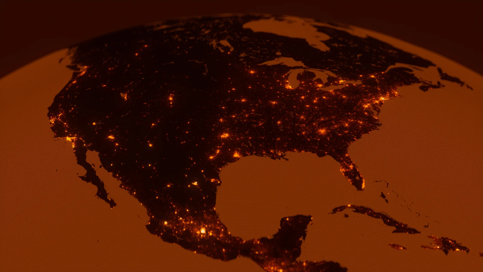
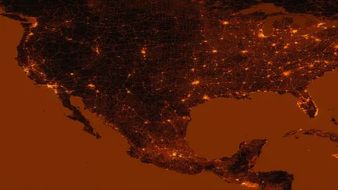
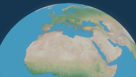
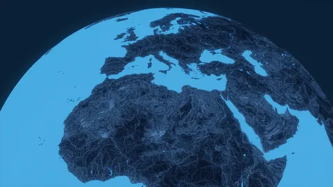
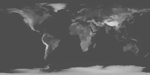
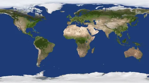
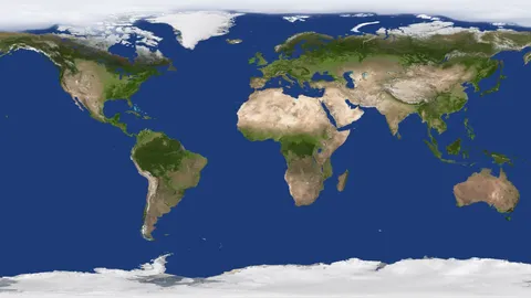
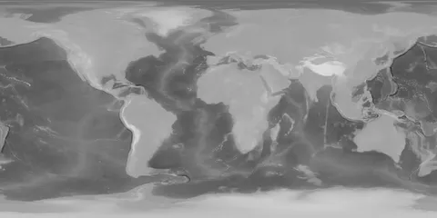
This collection provides three highly detailed technical Earth map textures focusing on global population density. It includes data maps sourced from the European Commission's Joint Research Centre (JRC) and Kontur, alongside a third map that blends values from both datasets. The maps share WSG84/equirectangular projection coordinates, making them suitable for spherical mapping or layered compositing using standard blending modes.
Designed for technical visualizations and holograms, the textures support both wide global shots and extreme close-ups. The files are delivered as lossless 16-bit TIFFs in multiple resolutions including 4K, 8K, 16K, 32K, and 86K, with the JRC map scaling up to 172K.
You might also like
5.0 Textures·€12
5.0 Textures·Free
5.0 Textures·€5
5.0 Textures·€5
5.0 Textures·€5
5.0 Textures·€5
4.9 Textures·€20
Textures·Free
HDRI·$25
Textures·Free
Textures·Free+
5.0 Textures·€20