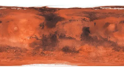
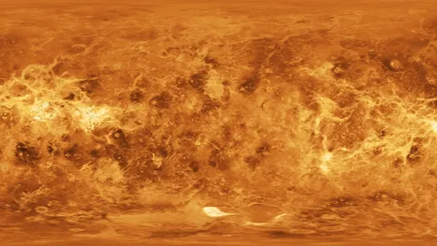
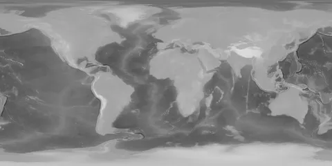
A high-resolution 16-bit displacement map of Mars, derived from laser altimeter data gathered by NASA's Mars Global Surveyor. With a maximum resolution of 46,080 by 23,040 pixels, the map provides extensive topographical detail of the planet's surface, including craters, mountains, plateaus, and ancient riverbeds. Due to the projection method, topographical accuracy is somewhat reduced near the polar regions, though the overall resolution remains suitable for close-up environmental renders.
You might also like
5.0 Textures·€20
4.9 Textures·€20

5.0 Textures·Free
Textures·Free
Textures·Free
5.0 Textures·€5
Textures·Free+
5.0 Textures·€20
Textures·Free
Textures·Free
5.0 Textures·Free

Textures·Free