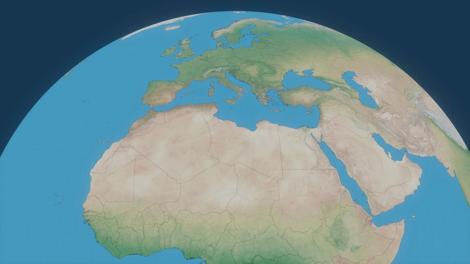
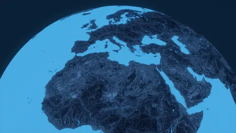
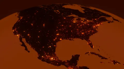
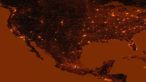
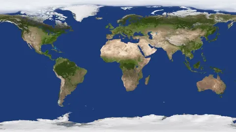
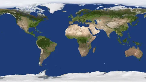
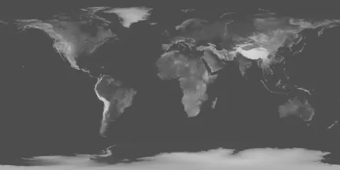
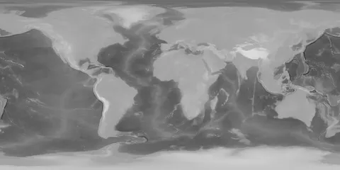
A collection of ten high-resolution equirectangular Earth map textures designed for holograms and technical visualizations. The maps are based on publicly available geographic data and are aligned to the same WSG84 coordinates, allowing them to be layered together. The collection includes various line maps for coastlines, country borders, states, and counties, alongside specialized land color and layered timezone maps.
You might also like
5.0 Textures·€12
5.0 Textures·Free
5.0 Textures·€5
5.0 Textures·€5
5.0 Textures·€5
5.0 Textures·€5
Textures·Free
Textures·Free
4.9 Textures·€20
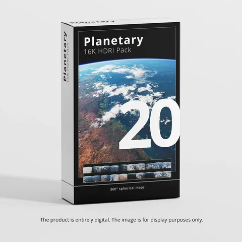
HDRI·$25
Textures·Free+
5.0 Textures·€20