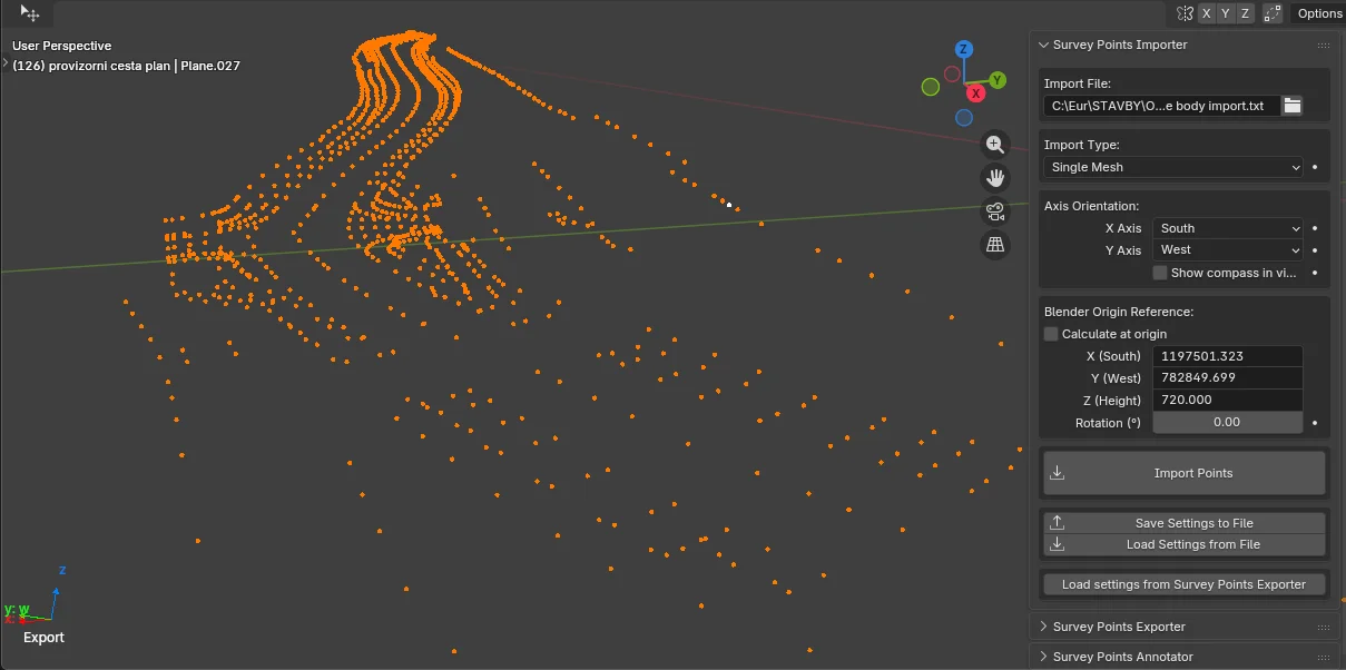
This add-on provides tools for importing real-world survey and control point data into Blender. It reads common text-based formats like CSV and TXT, allowing you to map X, Y, and Z columns and handle various delimiters, decimal formats, and encodings.
The tool includes controls for coordinate mapping, axis orientation, and reference point offsets, helping adapt large-scale survey coordinates to Blender's 3D space. Users can import points as a single memory-efficient mesh, grouped meshes based on alphabetic prefixes, or individual empty objects for use as reference points. It is designed for BIM, engineering, and geodetic workflows where precise coordinate alignment is required.
You might also like

5.0 Addon·$15