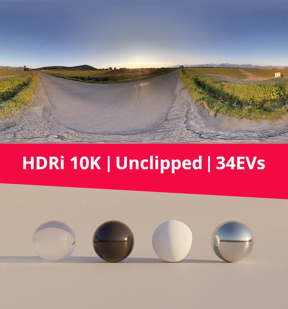
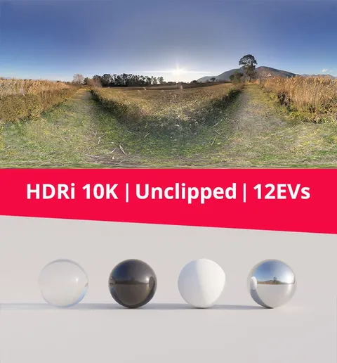
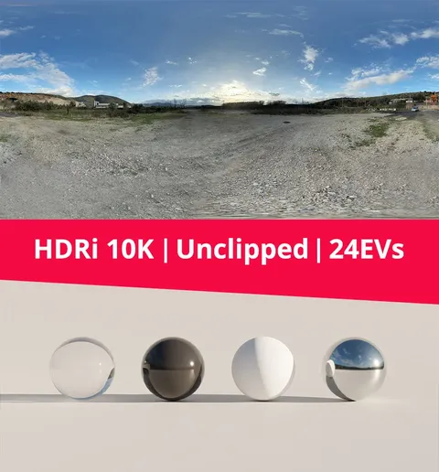
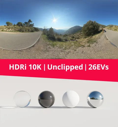
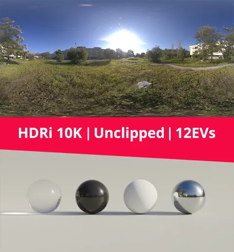
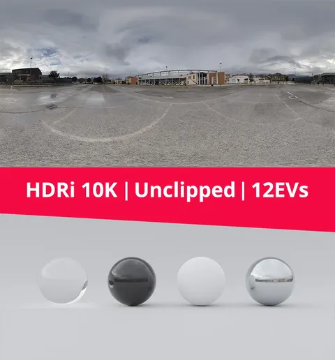
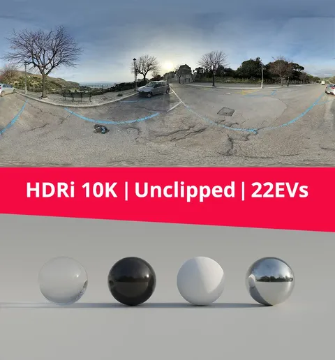
An equirectangular high-dynamic-range imaging (HDRI) environment map depicting a countryside street and sky. The file is unclipped, capturing 12 exposure values (EV) of dynamic range to preserve the brightest light sources for realistic scene illumination and accurate shadow casting.
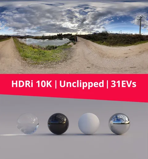
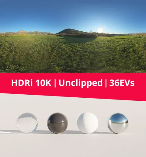
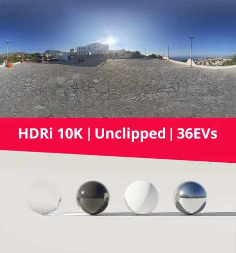
The map is provided in the standard .hdr format to ensure broad compatibility across 3D software and render engines. Files are included at multiple resolutions, ranging from 1K up to a maximum of 10K (10000x5000 pixels), allowing users to optimize for memory usage or prioritize crisp backgrounds and sharp surface reflections.
You might also like
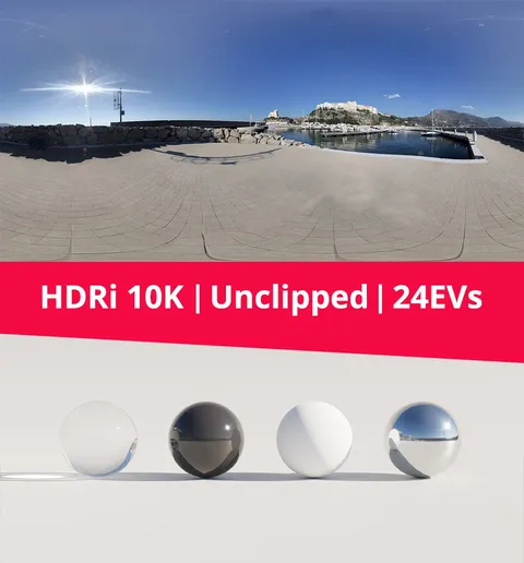
HDRI·€4.99
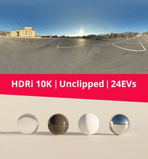
HDRI·€4.99
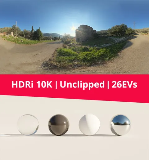
HDRI·€4.99
HDRI·€4.99
5.0 HDRI·€4.99
HDRI·€4.99
HDRI·€4.99
HDRI·€4.99
HDRI·€4.99
HDRI·€4.99
HDRI·€4.99
HDRI·€4.99