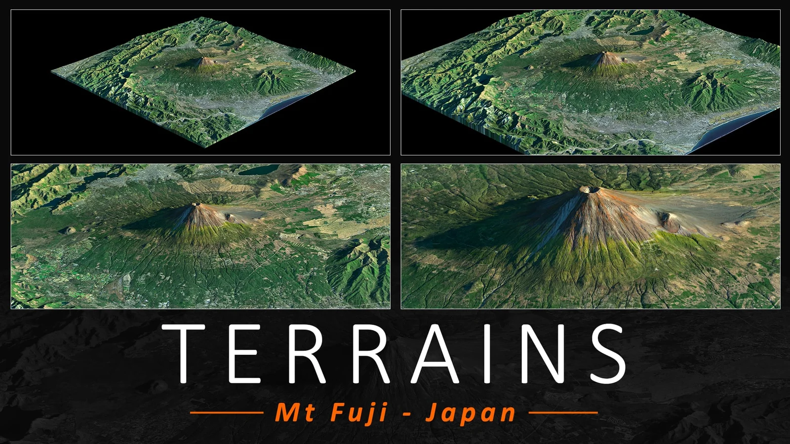
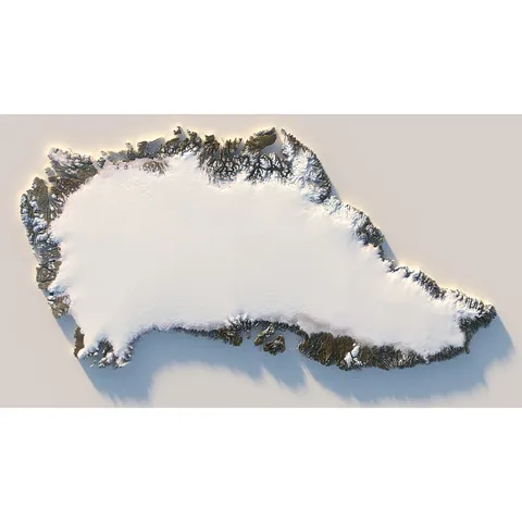
A highly detailed 3D terrain model of Mount Fuji, Japan, based on real-world data and covering a 200-kilometer perimeter. The terrain is provided in multiple geometry resolutions to suit different performance needs, ranging from a 500,000-triangle 512-resolution mesh up to a 134-million-triangle 8K-resolution mesh.
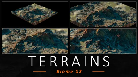
The package includes a comprehensive set of texture maps available in 1K, 2K, 4K, and 8K resolutions. These include 32-bit EXR heightmaps, 16-bit PNG normal maps, erosion, deposit, and flow masks, as well as 8-bit JPG color, specular, detail normal, and water maps. Files are provided in OBJ, FBX, and native Blend formats.
You might also like
3D Model·$25
3D Model·NZ$2
3D Model·$2
3D Model·NZ$2

4.6 3D Model·€15
3D Model·$10
Textures·$4.95
Textures·$4.99
3D Model·$10
5.0 3D Model·€6
5.0 3D Model·$6
5.0 3D Model·$6